Friday, 23 August 2019

Norway - Roadtrip, Forest & Such - 5


This morning I woke up quite refreshed but Ben hadn't really slept due to the cold. He was exhausted. After breakfast we tried to decide on what to see today. I had my mind set on Galdhøpiggen, the highest peak in Norway. Seeing the actual peak would've required a 2 hour hike and 600m ascent though, and we didn't really think that one was very plausible. We decided on driving along route 55 throught the mountainous area. The route passes by Jotunheim, the nature reserve of Galdhøpiggen, and crosses a plateau area at an altitude of 1300m.
All rivers we saw on the way were glacial water. Our first stop was at  Riddersprånget along the river Sjoa, The knights Leap the spot is called. The story is that a knight had fallen for someone elses bride. She had a liking for him too, so he stole her and they fled to the river where he jumped over a gorge with her in his arms. The other knights were chasing close behind, and he actually pushed one of his own men into the water to show the pursuers what would happen to them if they followed.
Our second stop was at Stuttgongfossen, a 22 m fall. The forest around the area was fabulous too. It was filled with moss-like lichen. There was so much of it that the forest bed was almost white grayish-green.


We drove upriver and after a while we reached a whole lake of glacial water. It was extremely beautiful and looked treacherously much like Mediterranean water. It almost beckoned one to come take a swim, but glacial water is FREEZING!


The route continued up to the plateau area where we ended up inside a cloud. The mist was so thick we had to creep forward carefully because we really couldn't see very much. This slow going kept on for quite a while,

until we began the descent.
Ben was freezing for a long time this day due to the previous chilly night. We decided on not sleeping outside the upcoming night, and instead did a long drive back over the border to Sweden. That night we spent back home.


Wednesday, 21 August 2019

Norway - Roadtrip, Forest & Such - 4

After breakfast and packing of gear we headed toward Molde. We had our goal set on Trollkirka/Trollkirkja this day. It is a cave complex, apparently the largest one in Sør-Norway. There is a bit of a hike before reaching the entrance at 484 m above sea level. The actual ascent I think is about 400 m. It was a bit more than I expected at first, but a slow and steady pace got my third trimester bump all the way up.
The trail starts at the fv64 road, by a parking lot. A lot of people stop here for the hike. We were a bit late as always and started out after 4 PM. The weather was shifty so we brought extra layers and rain clothing. The actual cave is cold, wet and dark so gloves, a hat and head torch is a must. Aside from that hiking poles are really good to bring at least for the descent. Oh, and bring water and a snack!

The trail starts out on flat gravel, after a while changing into a fur tree forest with a soft fur needle ground cover - almost like from a saga. After a while the angle of the trail increases and the forest changes to birch. There are lots of rocks all the way up so a careful footing is important.
After a while the trees give way to grass and smaller bushes.

There are a couple of resting spots on the way, but most people I think can do the hike without breaks. We stopped a few times, though and had a drink and a bite to eat.

The last part of the trek is the steepest and depending on weather it might be a bit slippery. There are parts with rope to hold on to in case the ground is wet.

The actual cave is made of three systems interconnected with a river. It is quite dark and torches are a must at least in the first part. Some bring helmets as parts of the cave are a bit low. I actually saw a few drops of blood on a rock, probably after a head bump into a rock.

At the end of the first cave there is a round room with a water fall. To the right from the entrance the route continues up through a tighter space. It was wet as we passed and the rock may be a bit slick. At this point our dad gave up and headed back toward the entrance.

Bro and I continued up and found another high ceilinged room with a water fall. The trail continued further up after that and there is supposed to be a third cave above, but that one we did not find. By then it was getting a bit late and we had to head back down the hill.

The descent was quicker, but not quick. The rocks were wet by that time and we had to check each step on the way down. Besides, dad and I are not very fit at the moment. This trek was a bit hard on my preggo belly and at times I had to take smallish breaks due to some Braxton-Hicks contractions that seemed to be provoked by the jolts of each step down the hill.


Besides I hadn't really trained for this trip, which I usually would have done before heading into mountainous terrain, so the muscles around my hip joints and lower back were a bit mushy at the end.

It was a great hike, though, even though bro was bored by the pace.

Afterward we hurried off to our next planned over night stop. We had to cross a fjord by boat, because driving would've been way too long. Norway is a pretty expensive country and each crossing by ferry is very expensive, so that has to be taken into account if traveling in Norway for a longer time. Luckily we only had 2 ferry crossings during our road-trip.

This night we again decided to stay indoors. We were so late that the probability of finding a good space for pitching a tent was diminishing.
We booked a tiny cabin at Romsdal campsite in Åndalsnes, very close to Trollstigen, "The troll's road".
We have been there before, but decided to go there once more. Last time we were there so late in the day, we really didn't have time to enjoy the pass.


So, next morning we did some stocktaking, re-packed, re-supplied and headed off to the pass.
Trollstigen is a winding road up to the plateau which lies at 858 m over sea level. There are a few hiking routes that go to the plateau from the bottom, but also ones that start at the plateau and go to the top and to the Troll wall, the tallest vertical rock face in Europe, with its 1100 m of sheer cliff wall. At its ridge summit it has an overhang of 50 m over the base. There are loads of climbing routes on the wall, many of which have been destroyed due to rock fall.
Anyway seeing that wall would have been fabulous, but the hike is 5 km and about an hour per km. Dad and I didn't have the strength and we didn't have the time to go there. Instead we did a nice and easy walk on the plateau and just enjoyed the view.

 Afterward we drove East between two massifs and stopped twice to look at some fantastic glacier water rapids.

We had way too time consuming stops again, exploring the rapids, so again we were late in finding a tent spot. Because of this we decided to pitch the tent at a camp site. It's a bit cheaper and there is the possibility of having dinner inside. As this was the chilliest area we've been so far, having the possibility to go inside was great. We hurried and pitched the tent under a tree, in case of rain, and headed inside for dinner. This night was actually very cold, and the temperature mark hit 5 degrees Celsius (41 F). I slept wearing layers and actually had a pretty ok night. Ben had to remake his bed during the night due to cold. He slept on a fairly big air mattress and those get really cold. He actually forgot to take the merino base layers into the tent that evening and didn't want to go look for them in the middle of the night, bummer. Dad squeezed himself into more clothing during the night and was able to sleep after that.


Monday, 19 August 2019

Sweden to Norway - Roadtrip, Forest & Such - 3

The 18th of August we started off by exploring the Rista fall. There was a nice trail walk along the river. The walk was not very long, but we spent hours looking at the different parts of the waterfall and rapid.


The weather was warm and moist and generally pretty ok for this kind of excursion.

After having spent quite a while in the forest we drove to Åre, a winter and summer adventure area. Ben has been there skiing as a youngster. I've never been there before, but have been wanting to see it in summer.
The larger ski resorts have a mutual webpage for all kinds of activities, Skistar. We saw loads of mountainbikers descending along the hillside, all muddied up and happy. Most of them took the first lift up again. It all looked fabulously fun! Dad had never been in  a cable car so we decided to hop on one up to the Åre plateau, close to the summit, Åreskutan. The summit is actually another 300 m ascent and we didn't have time to go there, so we enjoyed the view at an elevation of 1020 m. Besides, with the via ferrata of the day before and the hike down along the Rista river and back up again, I was quite exhausted and another 300m ascent was pretty much a no go.


We enjoyed the view from the plateau for a while and grabbed the last cable car back to ground level.


We had time for one more stop this day. Tännforsen, the highest water fall in Sweden. Its 37 meter from top to bottom. It has a perpetual rainbow on one side. The rocks in the fall are jagged and the very thought of falling into the water there is quite horrifying.

The walk from the parking lot to the water is a slight descent and I actually had to skip going to the bottom of the fall, due to some Braxton-Hicks contractions. Had been way too active the last couple of days. Well, Ben and dad did the whole tour and took loads of pictures.

Camping that night was at a spot quite nearby right at a road off the main one. We found the perfect spot for the tent and built a closed space between the tent and car with the tarp and mosquito net.

We went to bed in a dry, fabulous night, but woke up in a cloud. Phew it was wet and chilly. That day was a transportation day. We got up in a chilly and moist forest. Actually it had been so chilly that condensation had water dripping off the inside of the outer tent, onto the roof of the inner one and down on us. The shade was quite chilly, but luckily the sun showed up over the treetops within just a little while and within moments my car was steaming off the drops of water. By the time we'd had breakfast and packed our gear the tarp and tent were more or less dry.


This day we crossed the border to Norway, heading west on route E14. We had planned to stop at Brudesløret waterfall on the way (its right at the border), but the place was so small we missed it and drove passed and decided to just keep going.

We did some border shopping in Storlien- prices differ quite significantly between Sweden and Norway and the grocery store was filled with over border shoppers.

After making coffee at a pit stop we drove to Trondheim, a town on the coast. Here we had a break for an hour or so to make further plans. We will be working our way back to the South now. Tomorrow the plan is to visit Trollkirka. More on that in the next post.

The evening and night was spent on something like a marsh land in a no name place situated between tiny villages called Vinjeøra and Orkanger. A gravel road led to an abandoned exit overgrown with small pine that my car just about could drive over without scratching. A flat space at the end was perfect for the tent and car with a tarp.

We saw not one single mosquito during this evening. It was silent and calm. We had dinner and a walk and tucked in for the night.


Friday, 16 August 2019

Sweden - Roadtrip, Forest & Such - 2


Day three started off with some fabulous sunshine over our campsite. The night was quite comfortable and not as cold as we expected sleeping so near the water.
We made some breakfast and headed back to the car.
Our plan for this day was to visit Docksta via ferrata site. It is situated in Höga Kusten, the high coast, which according to them is the highest coast line in the world.
There is a commercial via ferrata. It is a bit pricey, especially if you are used to the free ones in other parts of Europe. This one is expensive even if you have your own gear. We were quite surprised, but we had decided on trying it so we did.
Dad had his harness with him, but needed the ferrata kit with helmet. Bro and I had our own gear.
So, after lunch we headed up the wall.

We chose to begin with the easy "white" route, just to see how dad was doing. Oh, and me of course. I wasn't sure of how my body would cope with this kind of climbing, being in the beginning of the third trimester and all.
The route split a bit higher up into an easy and a difficult one. The first part went very nicely so we decided on the hard one. This route was actually pretty much like the easy one, with the distinct difference of being more exposed, so requiring more mental control.
Actually it is quite exposed at places and I was a bit surprised that it required climbing up holding on to the wire at many places, meaning ascent without gripping the wire was not possible. Gloves are an absolute must because the ascent is very hard on the skin due to the wire gripping. Disappointing...

Dad was quite upset for a part of the way. The route was way too exposed for him and we needed to aid him in choices for gripping and stepping. Well, we must say in our defense that he has throughout his life been quite an adventurer, so we were pretty sure this would work. He's more sedentary life as a retiree has softened him up a bit, but with patience and positivity we reached the top. On arrival he suddenly burst out in excitement and laughter over having managed this project.

We sat at the top for a while and had some fruit, cupcakes and water, enjoying the view, before hiking downward again.

The route down was almost as steep as coming up. We chose the "blue" route, that passes a little cave area.
The descent was a bit hard on my pelvis, but I made it, as did dad with his old hip joints.

Afterward we filled up our water supplies and found a nature reserve close by for over-nighting. The place was a bit popular and there were a couple of caravans and another car with a couple in a tent.
Still it was remote enough that we felt safe to stay there for the night.

After a nice dinner we decided to bunk down for the night.
Next morning our first view out of the tent was filled with fog. It almost looked like we were inside of a cloud. The tarp we had set up was still hanging in its place and soon we were making breakfast under it. Coffee, bread, cheese, yogurt and the last of the muesli.
We had several small showers of rain during our breakfast, but the tarp and our three legged camp stools made life very easy. Having the car so close by was very nice too. Pretty soon we had everything packed and headed off toward Åre.

On the way we stopped in Sollefteå, a smallish town where our dad lived as a young man. He had quite a walk down memory lane. The old center street was as he remembered, but without some of the shops. Otherwise the town seemed to be slowly starving. Every other shop was empty. After a coffee and a short walk we continued on our way.

Next we stopped by Döda fallet, the Dead fall. It used to be an impressive whitewater rapid. Back in 1790 and before timber and logging was an important trade, but timber was destroyed in the rapid. Also salmon could not pass which made fishing good below, but not above. It was decided to build a canal to bypass the rapid up to the Ragunda lake above. This work had quite some obstacles as the canal bottom was sand and sediment and kept flowing back in. Men died in rock-slides and such. Also the work was continuously sabotaged by locals who were afraid of losing fishing income and work with log portaging. Also farmers were afraid of damage to their farmlands along the way.


Anyhow, in 1795 the bypass canal reached the lake, but the river flow was slow, so the dam was closed. What no one had anticipated was an unexpectedly large spring flood the year after. An unprecedented rain fall caused the lake to leak into the canal and began eating away at the sediment. This became the 1796 flood disaster, the largest historical environmental disaster in Sweden. The whole of Ragunda lake, a 1000 million liters of water was emptied within a 4 hour period, moving as a flood wave through the canal and the surrounding forest and villages.
The sediment redeposited at Indalsälven delta, where we spent our first tent night.

It was quite fascinating to see all the rocks and boulders of the dead fall that normally make out a bottom of a river. The area has loads of glacial potholes, cylindrical holes drilled into the rock by water and rotating gravel, some of which had burrowed a hole straight through a boulder. There is something really fascinating about rocks.
After the walk around the Dead fall we headed off toward the west.

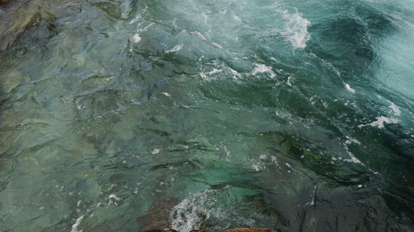
After some additional driving we came to the campsite where I'd decided we would spend the night, since I was craving a shower, Ristafallet camping. This time at a live waterfall called Rista. It was quite rainy when we arrived so not having to pitch the tent in that weather was a relief. We spent the night in a tiny cabin, with no running water, just beds, fridge and a cook stove. There was a service building with a kitchen, washing machine and showers and toilets. Just what we needed.

Before dinner that evening Ben and I headed down to look at the actual fall. The force of waterfalls has this strange allure. I just feel I want to get as close as possible. Ben actually went closer than I did. I had this nervous feeling about the slickness of the rocks and feeling a bit heavy and inflexible I decided to play it safe.