

The trail starts at the fv64 road, by a parking lot. A lot of people stop here for the hike. We were a bit late as always and started out after 4 PM. The weather was shifty so we brought extra layers and rain clothing. The actual cave is cold, wet and dark so gloves, a hat and head torch is a must. Aside from that hiking poles are really good to bring at least for the descent. Oh, and bring water and a snack!
 The trail starts out on flat gravel, after a while changing into a fur tree forest with a soft fur needle ground cover - almost like from a saga. After a while the angle of the trail increases and the forest changes to birch. There are lots of rocks all the way up so a careful footing is important.
After a while the trees give way to grass and smaller bushes.
 There are a couple of resting spots on the way, but most people I think can do the hike without breaks. We stopped a few times, though and had a drink and a bite to eat.

The last part of the trek is the steepest and depending on weather it might be a bit slippery. There are parts with rope to hold on to in case the ground is wet.
The actual cave is made of three systems interconnected with a river. It is quite dark and torches are a must at least in the first part. Some bring helmets as parts of the cave are a bit low. I actually saw a few drops of blood on a rock, probably after a head bump into a rock.
At the end of the first cave there is a round room with a water fall. To the right from the entrance the route continues up through a tighter space. It was wet as we passed and the rock may be a bit slick. At this point our dad gave up and headed back toward the entrance.
Bro and I continued up and found another high ceilinged room with a water fall. The trail continued further up after that and there is supposed to be a third cave above, but that one we did not find. By then it was getting a bit late and we had to head back down the hill.

 The descent was quicker, but not quick. The rocks were wet by that time and we had to check each step on the way down. Besides, dad and I are not very fit at the moment. This trek was a bit hard on my preggo belly and at times I had to take smallish breaks due to some Braxton-Hicks contractions that seemed to be provoked by the jolts of each step down the hill.
  Besides I hadn't really trained for this trip, which I usually would have done before heading into mountainous terrain, so the muscles around my hip joints and lower back were a bit mushy at the end.
It was a great hike, though, even though bro was bored by the pace.

This night we again decided to stay indoors. We were so late that the probability of finding a good space for pitching a tent was diminishing.
 We booked a tiny cabin at Romsdal campsite in Åndalsnes, very close to Trollstigen, "The troll's road".
We have been there before, but decided to go there once more. Last time we were there so late in the day, we really didn't have time to enjoy the pass.


 So, next morning we did some stocktaking, re-packed, re-supplied and headed off to the pass.
 Trollstigen is a winding road up to the plateau which lies at 858 m over sea level. There are a few hiking routes that go to the plateau from the bottom, but also ones that start at the plateau and go to the top and to the Troll wall, the tallest vertical rock face in Europe, with its 1100 m of sheer cliff wall. At its ridge summit it has an overhang of 50 m over the base. There are loads of climbing routes on the wall, many of which have been destroyed due to rock fall.
Anyway seeing that wall would have been fabulous, but the hike is 5 km and about an hour per km. Dad and I didn't have the strength and we didn't have the time to go there. Instead we did a nice and easy walk on the plateau and just enjoyed the view.

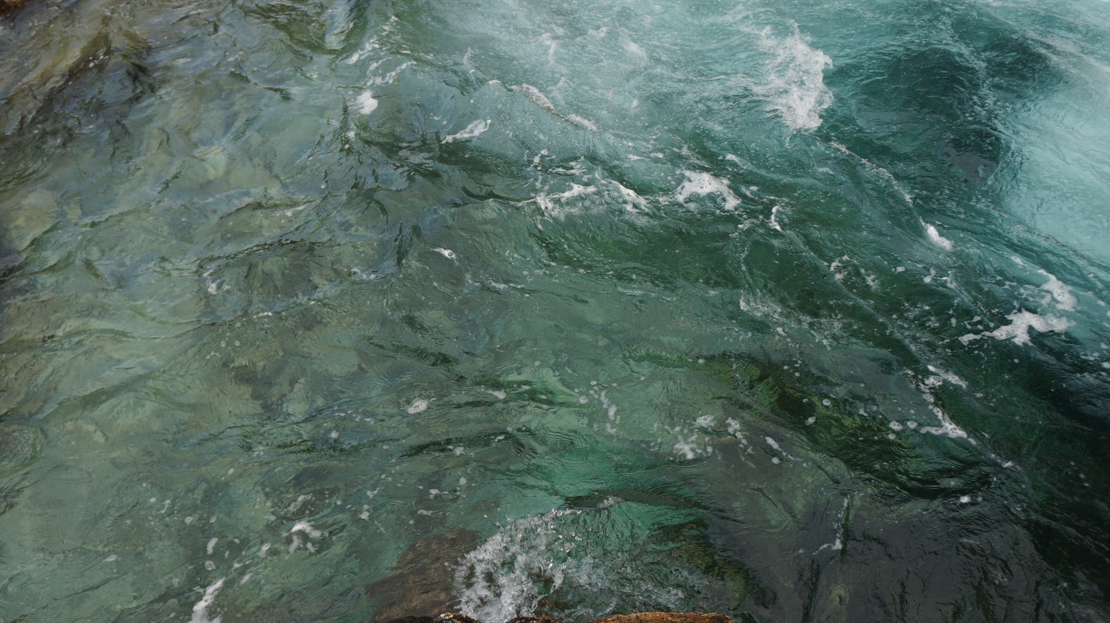
 Afterward we drove East between two massifs and stopped twice to look at some fantastic glacier water rapids.
 We had way too time consuming stops again, exploring the rapids, so again we were late in finding a tent spot. Because of this we decided to pitch the tent at a camp site. It's a bit cheaper and there is the possibility of having dinner inside. As this was the chilliest area we've been so far, having the possibility to go inside was great. We hurried and pitched the tent under a tree, in case of rain, and headed inside for dinner. This night was actually very cold, and the temperature mark hit 5 degrees Celsius (41 F). I slept wearing layers and actually had a pretty ok night. Ben had to remake his bed during the night due to cold. He slept on a fairly big air mattress and those get really cold. He actually forgot to take the merino base layers into the tent that evening and didn't want to go look for them in the middle of the night, bummer. Dad squeezed himself into more clothing during the night and was able to sleep after that.


